Geographic data known as point of interest (POI) data identifies specific locations that are interesting to a certain user group or audience. A variety of location-based information, such as the names and addresses of establishments, famous structures, geographical features, and other points of interest, can be included in POI data.
To assist users in finding and learning more about the places and locations that are important to them, location technology platform data is frequently used in mapping and location-based applications, such as navigation apps. Various organisations, including businesses, individuals, and governmental bodies, can gather and maintain POI data.
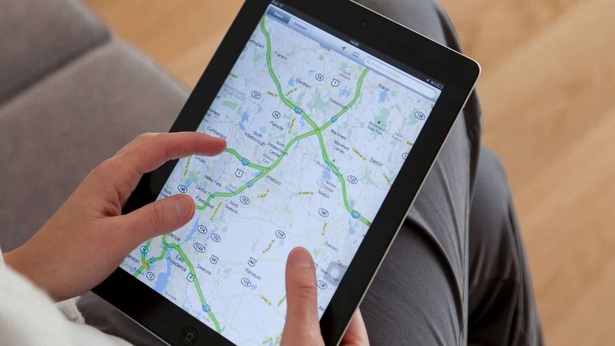
NAVIGATION AND MAPPING
The foundation of location-powered enterprises is accurate mapping. You need precise references of places in the actual world whether you are a provider of GIS solutions, a business that sells navigational devices and applications for cars (helping users navigate from point A to point B), or a corporation that uses maps to support the delivery of their services.
However, issues like apps taking you to a closed business’ location, zip codes pointing in the wrong direction, and inefficient routes are all too frequent. Both end users and service providers working with GIS solutions, route planning, digital maps, GPS navigation applications, and other areas can benefit from verified Points-of-Interest (POI) data.
Why is accurate POI data crucial for navigation and mapping?
You can create interconnected, comprehensive, and contextual maps and routes using POI data, which offers an accurate reference of key locations. Digital maps and navigation applications depend heavily on POI data accuracy since it affects how quickly and effectively they can find POIs and, eventually, how much money they can charge for their services. To keep their systems current and competitive in a market increasingly dominated by mapping behemoths like Google, Geographic Information System (GIS) solution providers require access to accurate, verifiable, and up-to-date POI data.
Applications for mapping and navigation can benefit from POI data by providing the crucial context required to support real-world use. For instance, you can give transportation organisations granular and contextual data by including petrol stations, vehicle charging stations, and rest areas on a route. All location-based businesses, including last-mile delivery and tracking, transportation, food delivery, GPS gadgets, and others, can operate thanks to POIs.
How is POI data used?
Businesses can make better judgements by having information about a given site or a group of related locations. When combined with other contextual factors like sociology, dynamics of an area, human mobility, and more, POI can be used to create useful information structures that support thorough analysis and planning.
Multiple use cases and applications for POI data exist in various industries. It supports navigation systems, supply chain logistics, transit management, urban planning and design, and apps for errands, food delivery, online shopping, etc.
Users and businesses alike require timely and precise locations in order to locate and provide pertinent services. Businesses use POI data to interact with customers in the real world, including when delivering or picking up packages, picking up clients who have requested rides through their ride-sharing app, evaluating rival businesses before moving into a new neighbourhood, and more. Users rely on POI data to help them navigate their surroundings in order to locate emergency services, transit, shopping areas,